The lab.
Concepts and redesigns, mostly for the kind of systems designers rarely get to touch: city operations, emergency response, public services, communities. Much of it made at Jemirae, all of it chasing one question. How do you make something this complex feel calm?
AEGIS 001.01
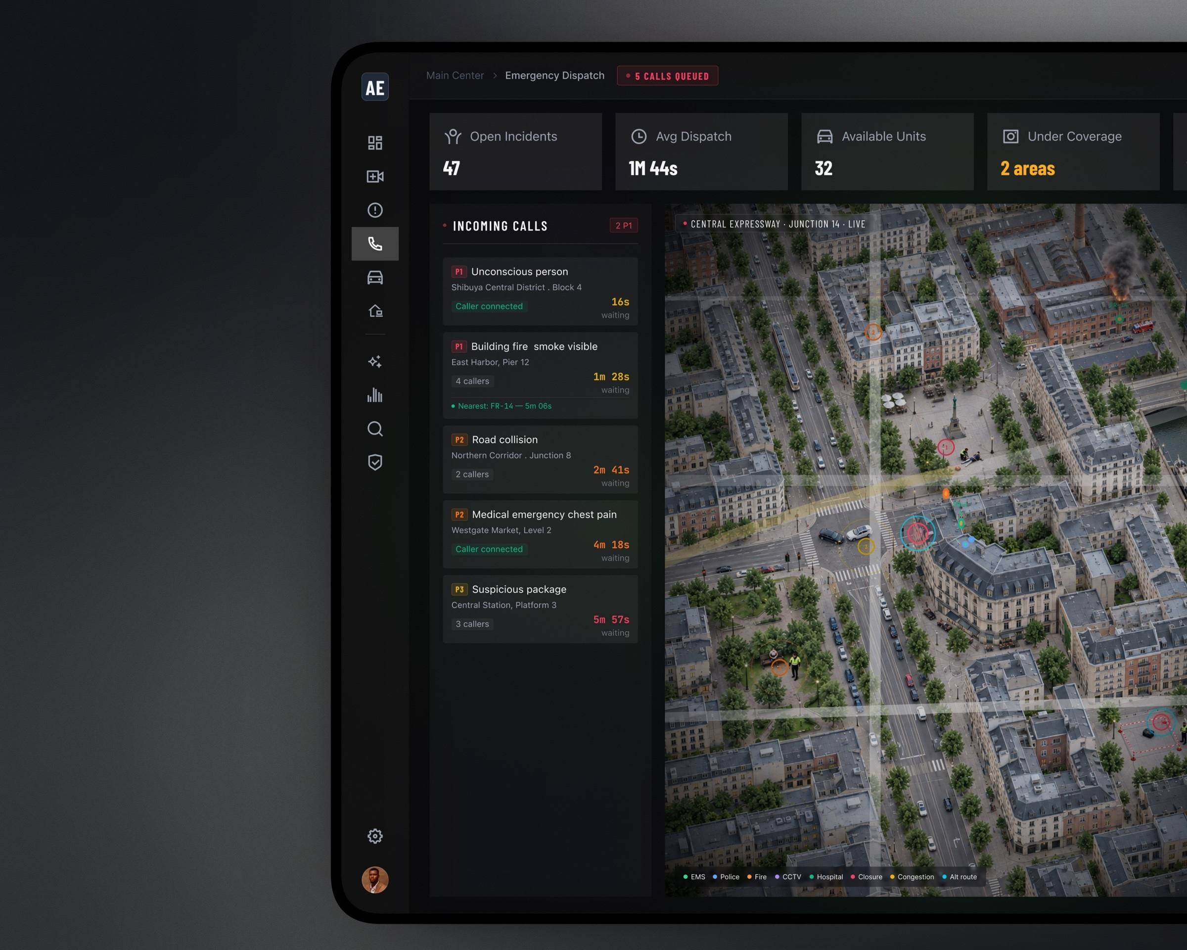
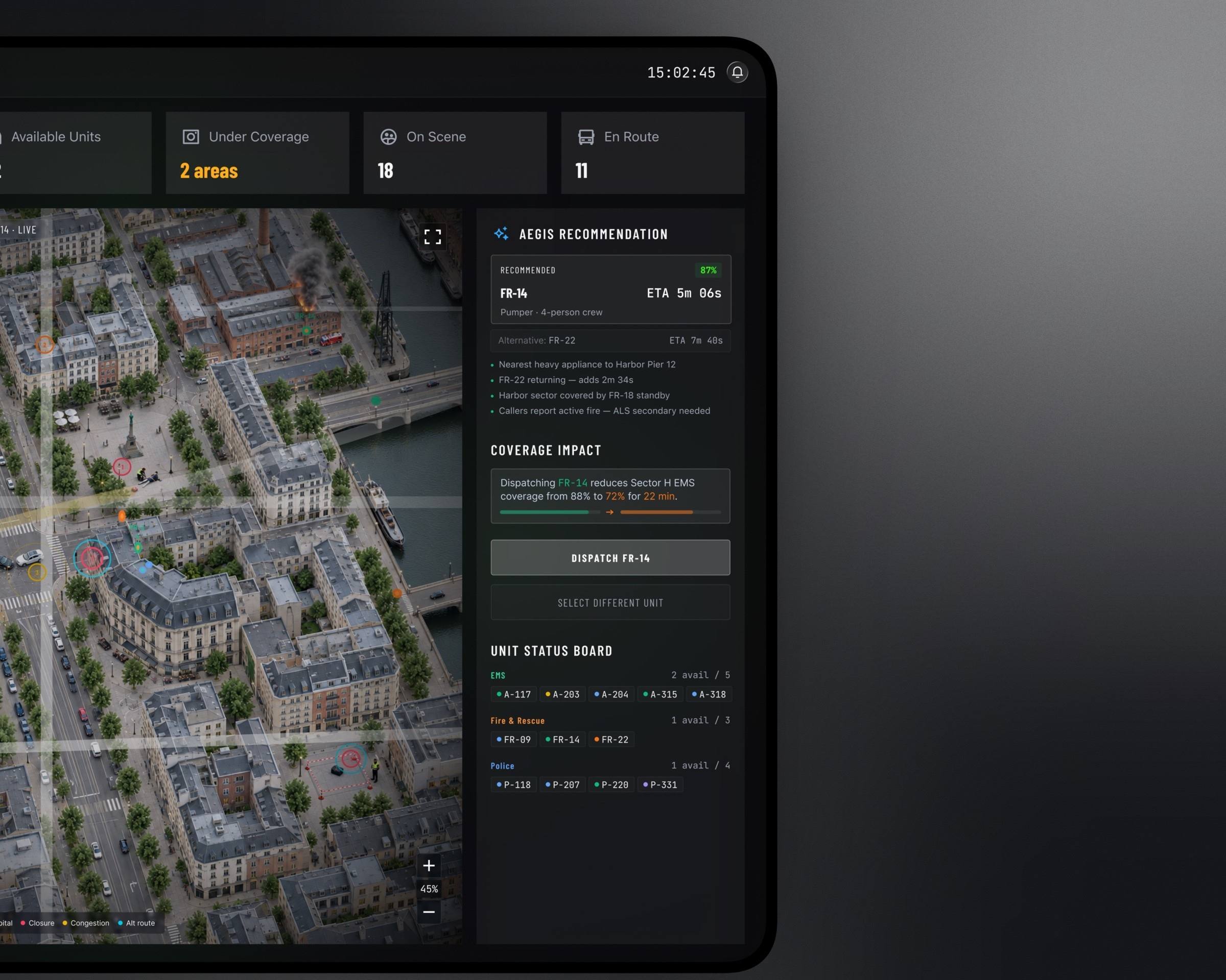
Metropolitan Command
What if a whole city could understand what is happening from one interface? Emergency dispatch, unit status and recommended responses on a live map.
AEGIS 001.02
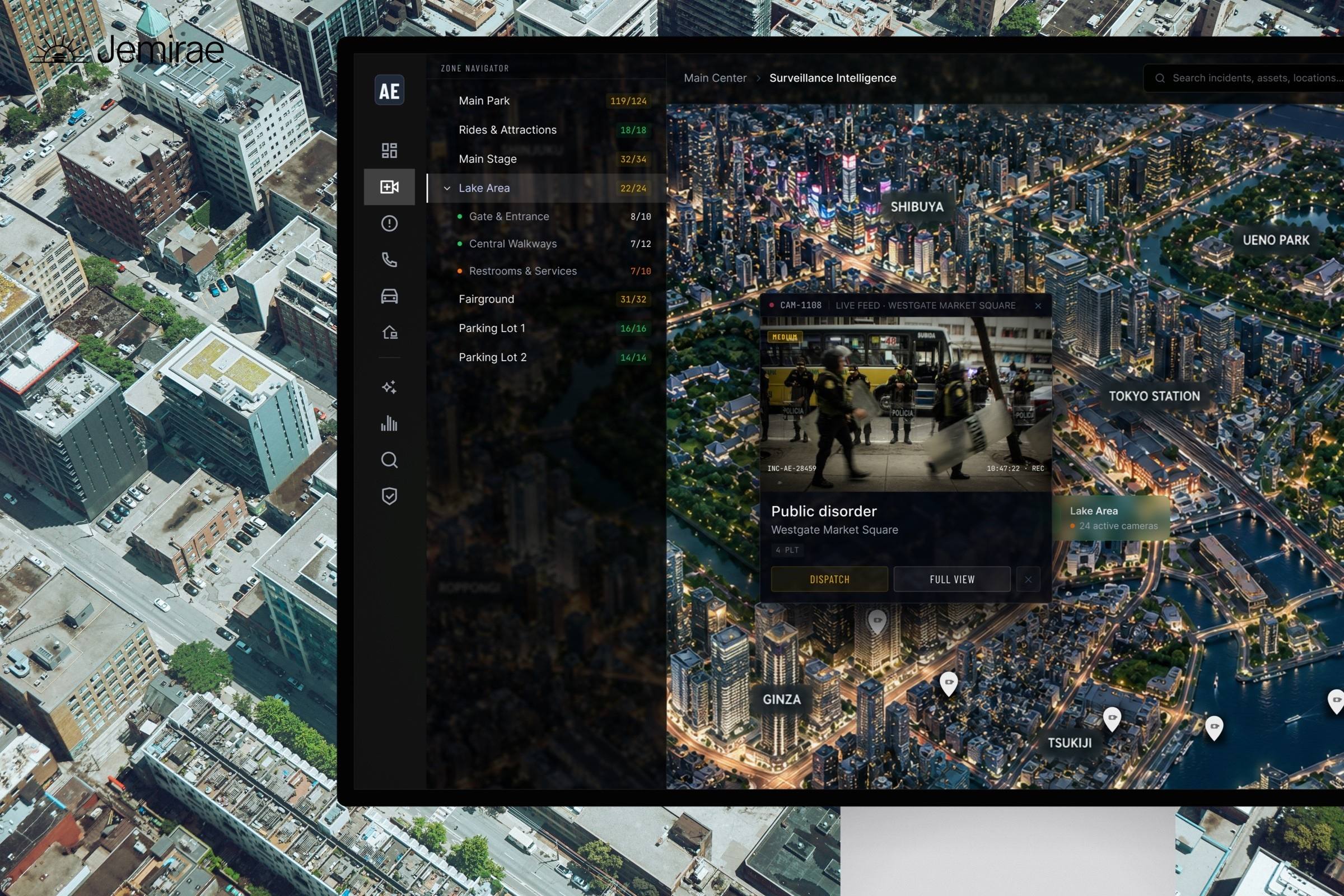
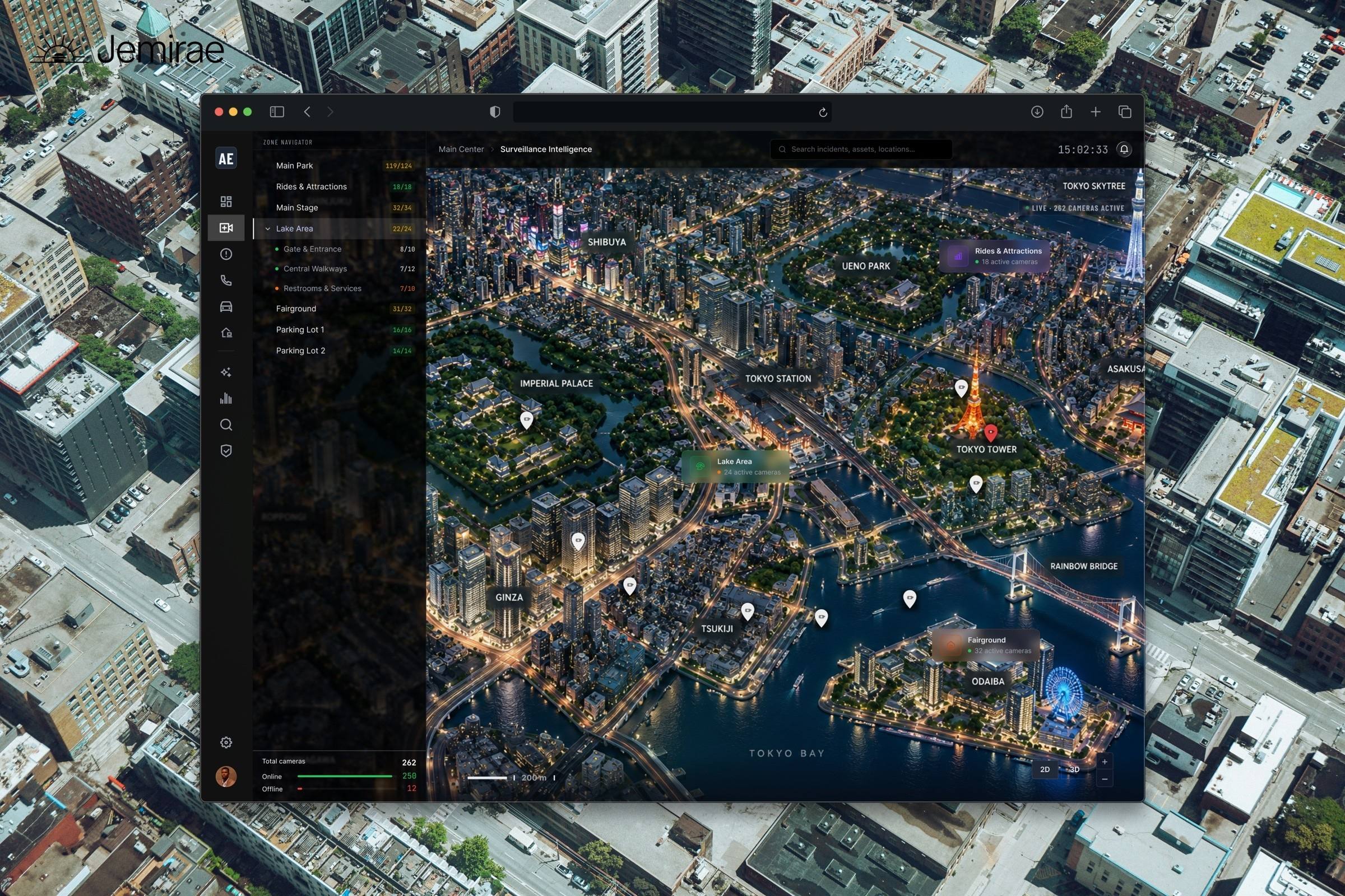
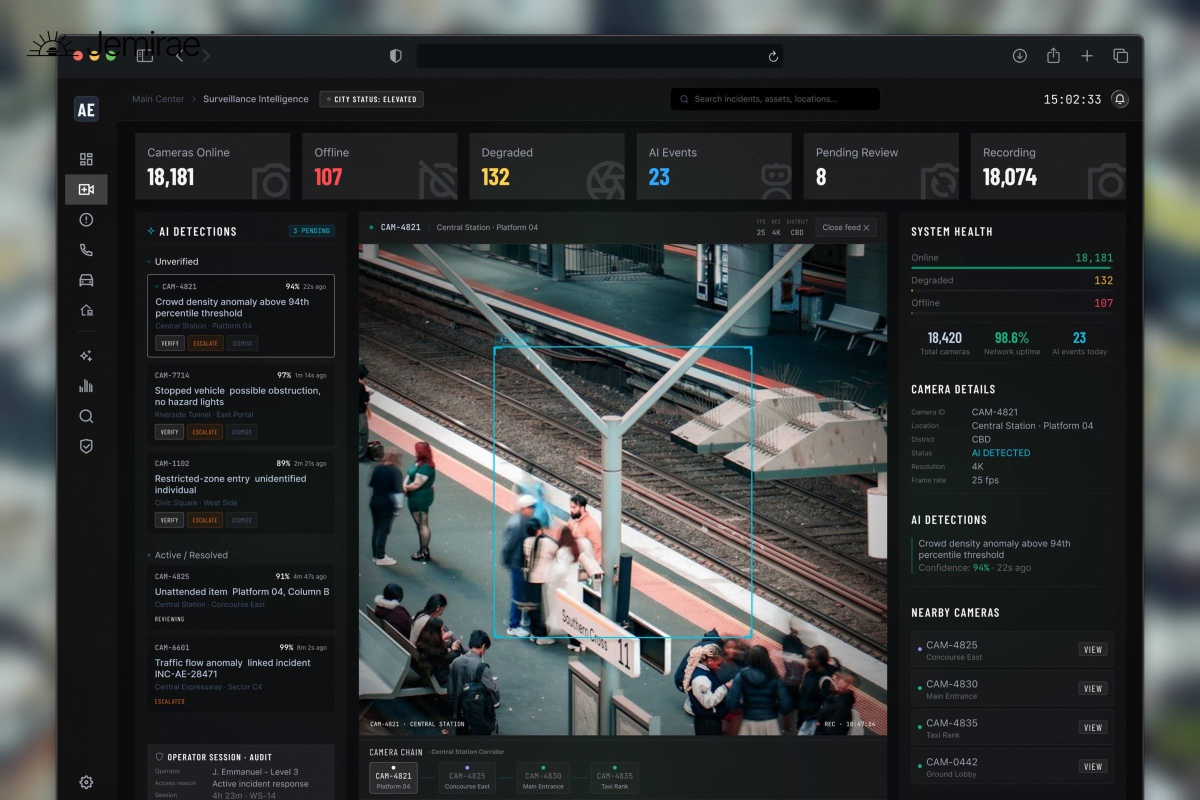
Surveillance Intelligence
Camera networks, detections and system health for a metropolitan operator, designed to stay readable at 3am.
AEGIS 001.03
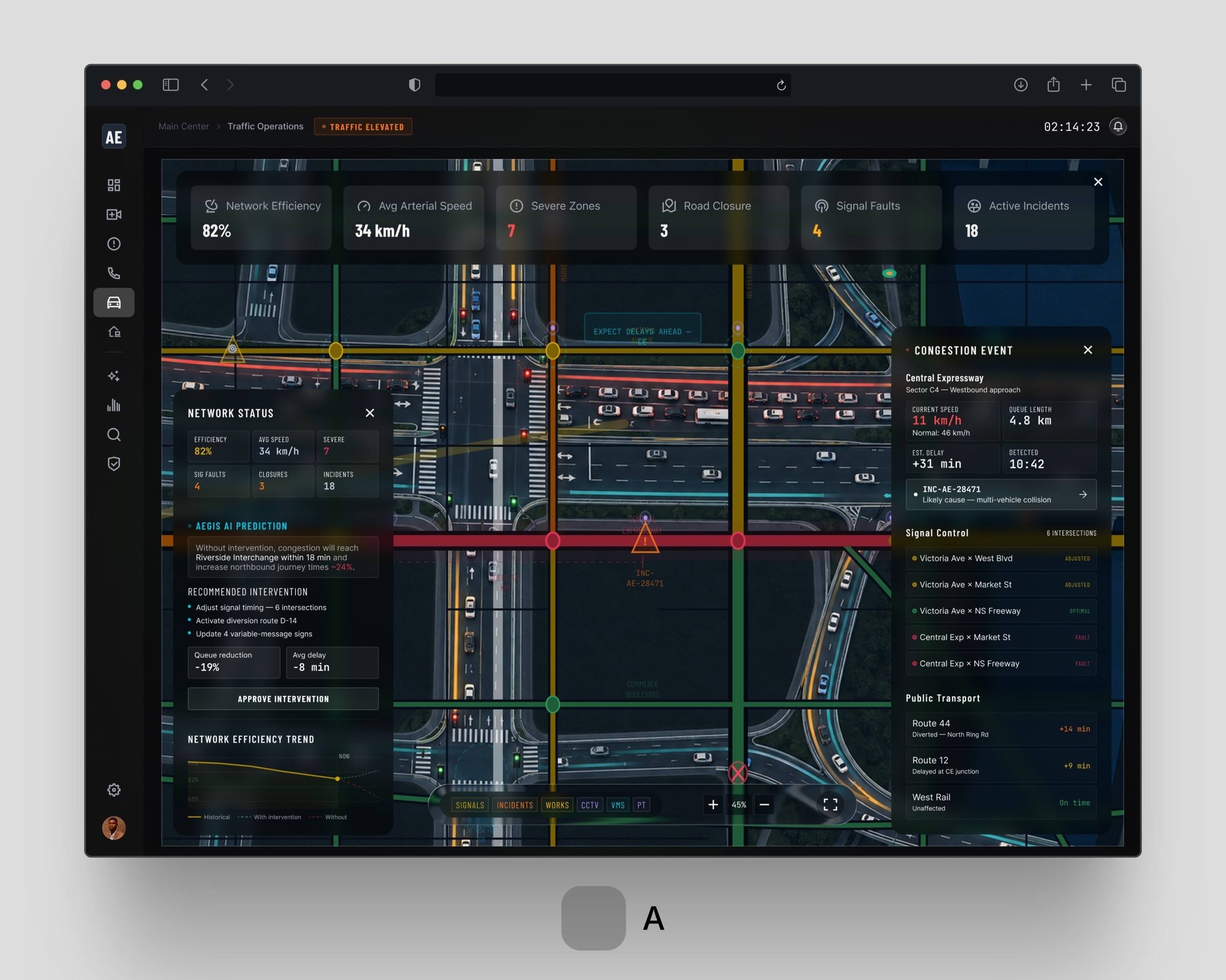
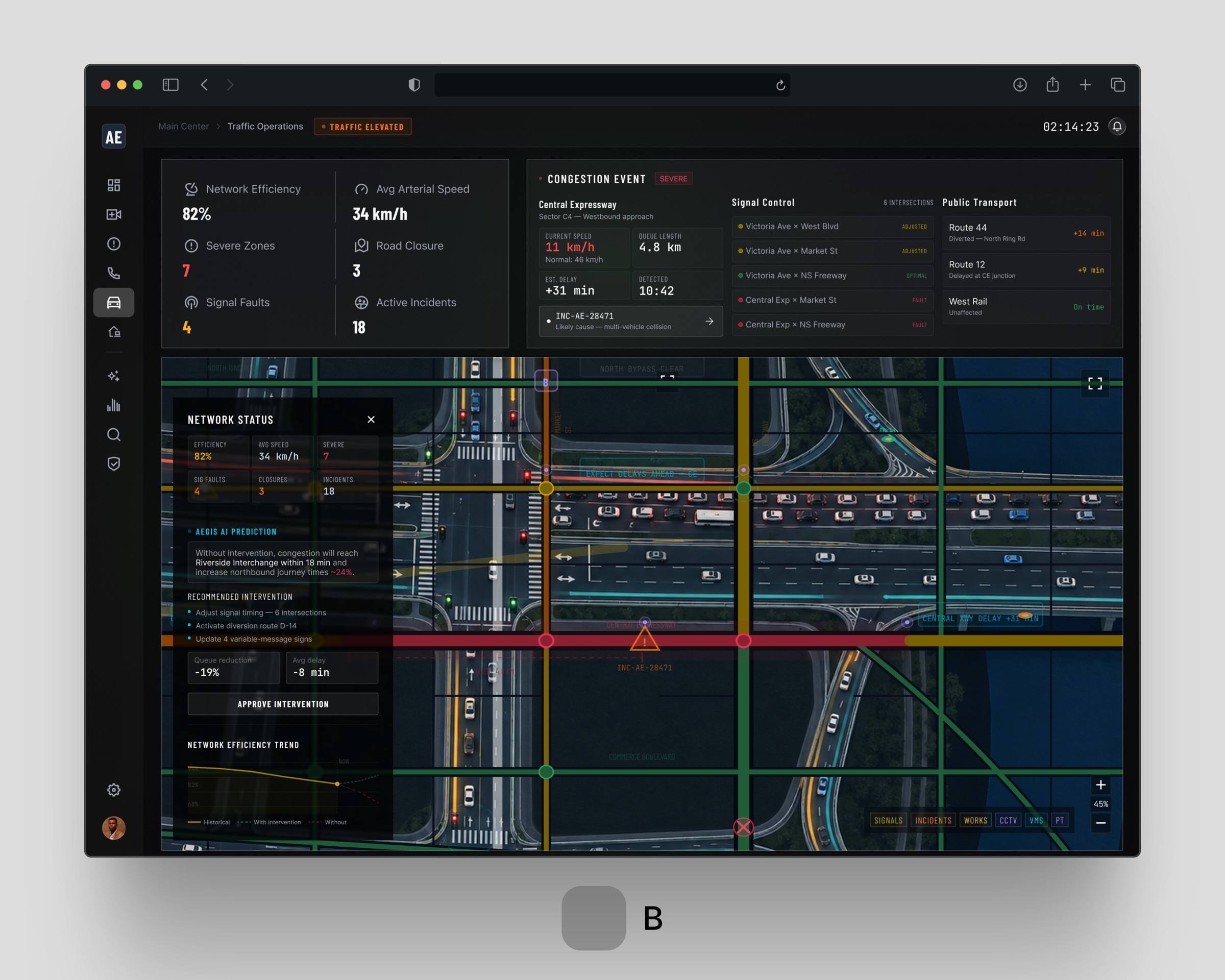
Traffic Operations
Network status, congestion and signal control across a city grid, with incidents surfaced before they spread.
AEGIS 001.04
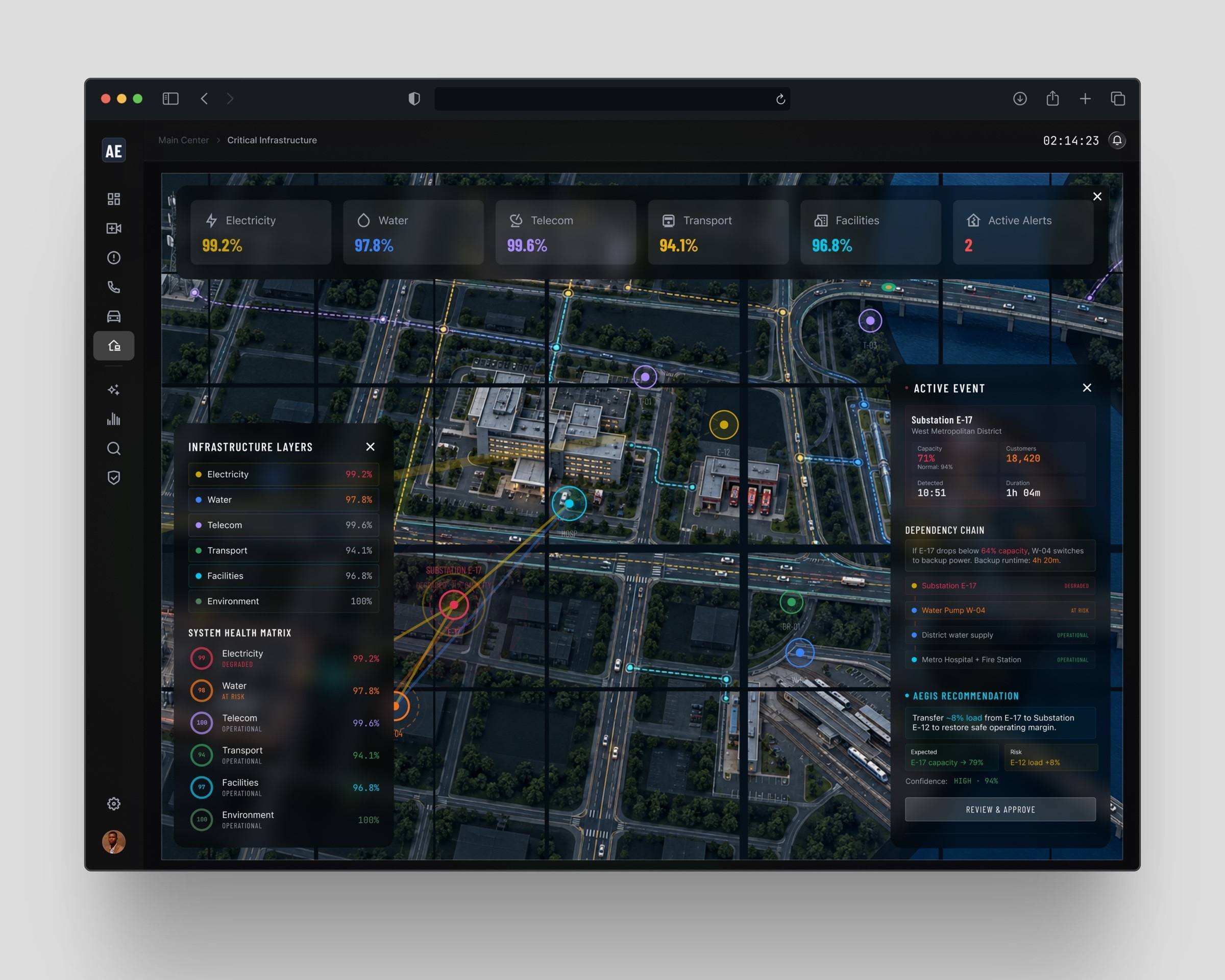
Critical Infrastructure
Power, water and transport assets on one operational picture, with layers an operator can trust.
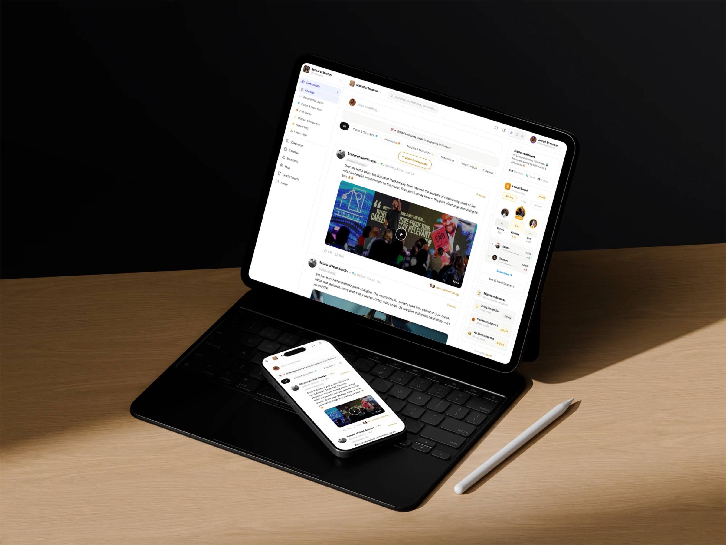
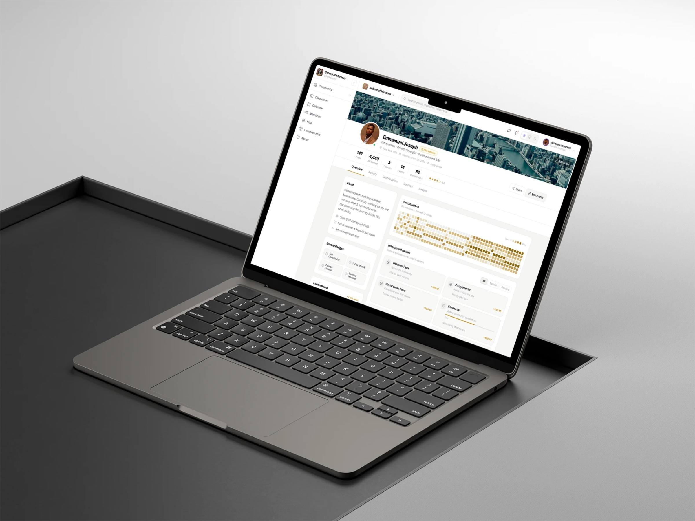
Community platform redesign
School of Mentors
A redesign of the School of Mentors community, a group I am part of: feed, classroom, events, leaderboards and member profiles that reward showing up, on tablet, phone and laptop.
GovTech concept
Civara
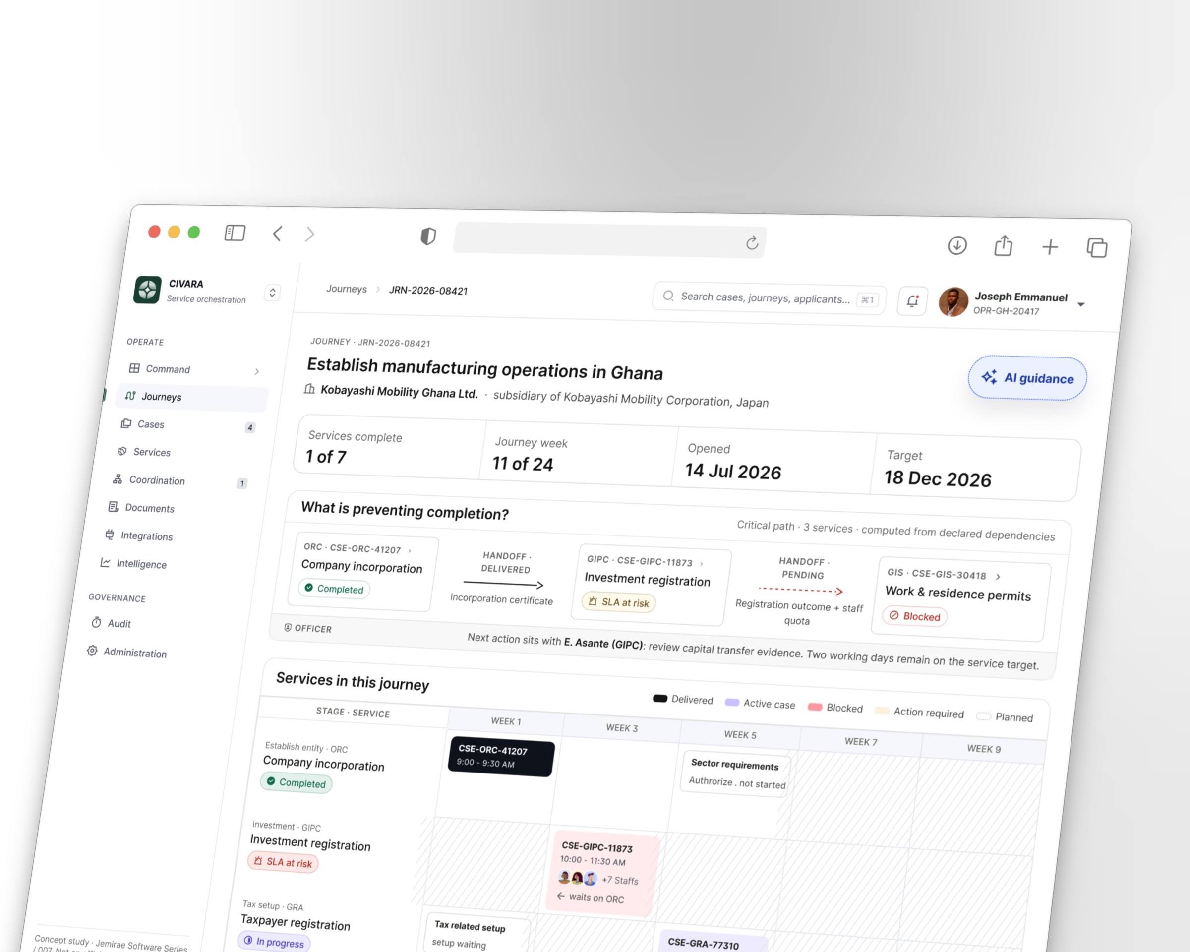
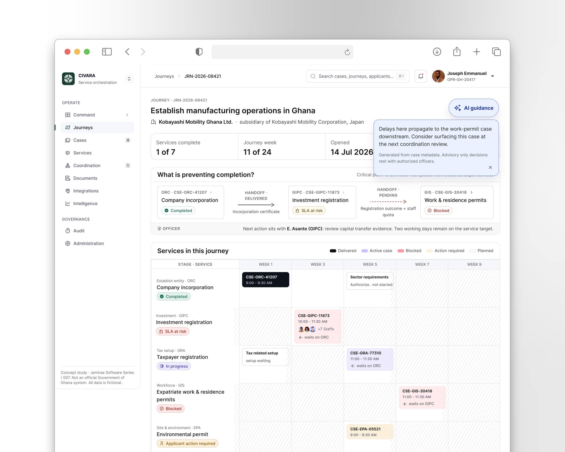
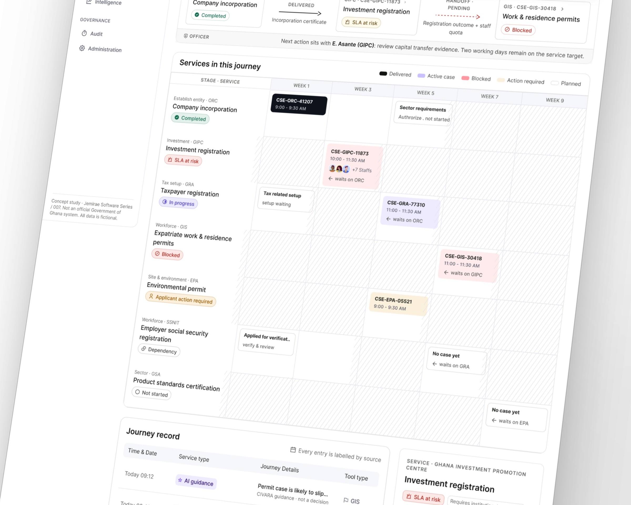
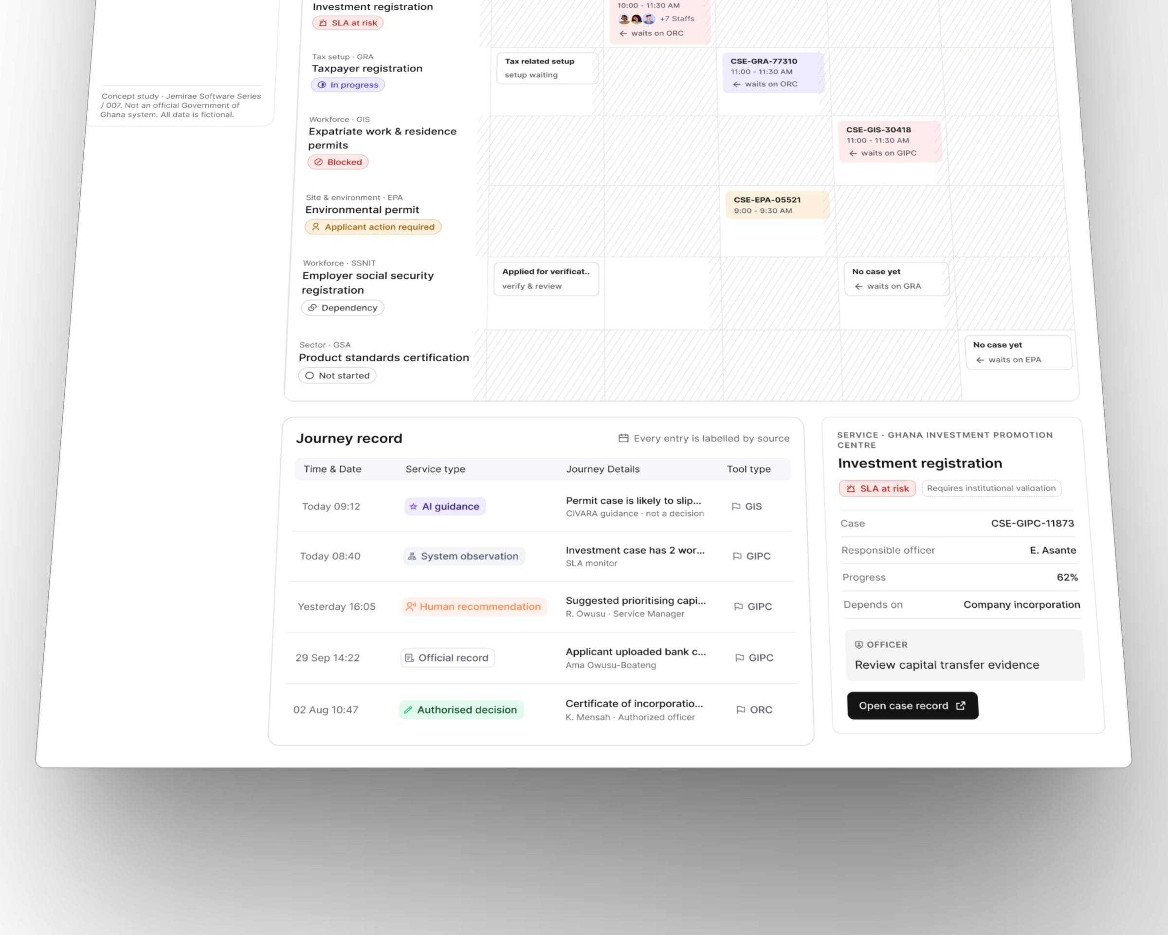
Setting up a business in a new country means a dozen agencies and no map. Civara turns it into one journey: every permit, its status, who is waiting on whom, and guidance at each step.